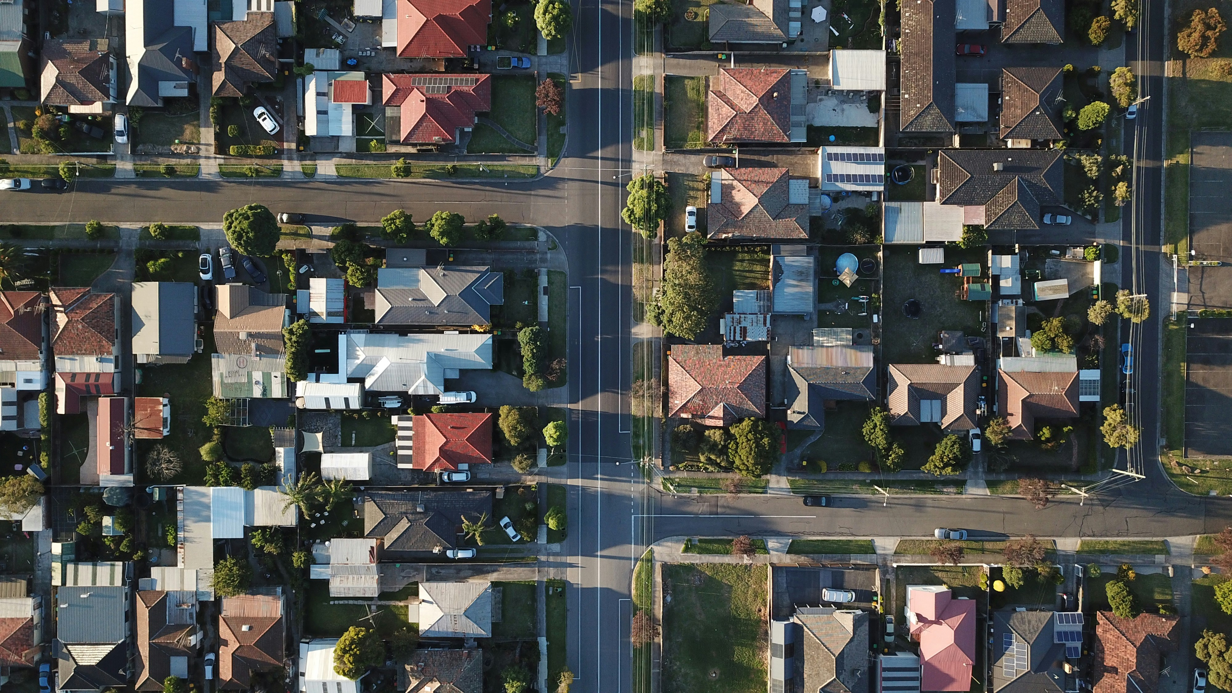
Browse data by planning themes:
Housing, rental reports, property sales and building permit data
Housing, rental and property sales data and information from building surveyors on the number, value and type of building permits issued.
Land use data
Commercial, precinct, public land and coastal plan open data.
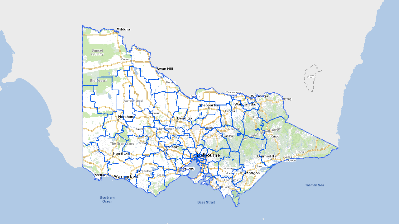
Local government planning data
Find local government building permits, planned works and development data.

Victoria in Future 2023 (VIF2023)
VIF2023 is the official state government projection of population and households.

Vicmap Planning data
Vicmap Planning spatial data representing land use zone and overlay controls for Victorian planning schemes.
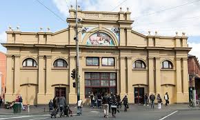
Heritage and cultural areas data
Data consisting of conservation and protection zones, cultural and heritage areas.
Updated
